
Six ZIP Areas Touch the Miami Gardens Map
The official 2005 city map and HUD plan show six postal areas encompassing or touching Miami Gardens. Their shapes range from broad central coverage to small municipal slivers. No authoritative station names were verified, so the Miami Gardens ZIP code directory states that gap instead of assigning post offices by guesswork.
| ZIP | Miami Gardens areas | Post office | Local note |
|---|---|---|---|
| 33014 | Tiny southwest and west edge | Not verified | Hialeah and Miami Lakes postal geography; small city touch |
| 33054 | Southwest and south-central | Not verified | Bunche Park, Opa-locka North, Rainbow Park |
| 33055 | West and central-north | Not verified | Carol City and Lake Lucerne sector |
| 33056 | Broad central corridor | Not verified | Carol City, Brentwood, Myrtle Grove, City Hall and stadium area |
| 33169 | East-central and east | Not verified | Norland, Andover, Scott Lake and Parkway corridor |
| 33179 | Small northeast and north edge | Not verified | Mostly outside the city; a sliver touches it |
No official source in the research established a PO-box-only area, unique institutional ZIP, or dated local split. Those categories are defined below, but none is assigned to Miami Gardens without proof. That restraint makes the coverage table more useful than a list assembled from postal assumptions.
Miami Gardens ZIP Code Edge Slivers
The two clearest boundary oddities are at opposite ends of the city. The 33014 area touches only a tiny southwest or west piece of Miami Gardens while belonging largely to Hialeah and Miami Lakes postal geography. The 33179 area reaches a small northeast or north edge near County Line and the east side, but most of that postal region lies outside the municipality.
This matters in any ZIP code directory search. A result inside either postal zone should not be labeled a Miami Gardens record until the parcel layer confirms the municipality. City jurisdiction controls which planning, permit, code, and city-request channel holds a record. Postal routing does not transfer that custody. The same logic guards against excluding a true city parcel simply because its mailing line uses another familiar place name.
Read Western Miami Gardens ZIP Areas by Community
Three adjoining areas organize much of western Miami Gardens. The 33054 region covers the southwest and south-central parts associated with Bunche Park, Opa-locka North, and Rainbow Park. A postal city may read Opa-locka even when the parcel lies in Miami Gardens. The 33055 region covers the west and central-north Carol City and Lake Lucerne sector. Some official school addresses can say Miami while serving or standing within Miami Gardens.
The broad 33056 corridor runs through central Miami Gardens and includes Carol City, Brentwood, Myrtle Grove, the City Hall area, and the Hard Rock Stadium vicinity. City Hall and North Dade Regional Library use Miami Gardens in their address lines. Community names remain valuable because the city was created in 2003 from seven predecessor communities. Older deeds, directories, school material, and local archives may use those earlier names rather than the modern city label.
Trace the 33169 Miami Gardens Eastern Corridor
The 33169 region covers the east-central and eastern part of Miami Gardens, including Norland, Andover, Scott Lake, and the Parkway corridor. Its postal territory extends beyond the city to the east and south. A name or address match within that region therefore needs the same municipality check used for the edge areas.
Miami Gardens lies roughly between County Line Road on the north, NW 151 Street on the south, North Miami Avenue or NE 2 Avenue on the east, and NW 47 or NW 57 Avenue on the west. Those are approximate official limits, not postal boundaries. Use them as orientation, then confirm the parcel. This ZIP code directory treats neighborhood names as search aids, not as exact legal polygons.
Find Miami Gardens Residents Within One ZIP
No verified ZIP-wide filter appeared among the Property Appraiser's displayed modes. Its public starting choices are address, owner name, subdivision name, and folio. Florida's voter-status page is also a self-check requiring first name, last name, birth date, and agreement to its notice, not an open browse of everyone in one area. A ZIP-based workflow must respect those actual interfaces.
- Verify the complete deliverable address with the official USPS tool. Preserve every directional and street suffix.
- Open the Miami-Dade Property Appraiser and search the street address without city, state, or postal digits. Copy the situs, owner mailing address, and folio.
- Confirm the municipality with the folio and GIS layer. A verified Miami Gardens folio begins with 34.
- For voter data beyond personal self-check, use the lawful Florida extract or Miami-Dade election-data request channel. Protected voters are removed.
- When the work narrows to one road, continue through the Miami Gardens street directory and its address-keyed record chain.
The USPS ZIP Code Lookup is the correct address-by-address postal check.
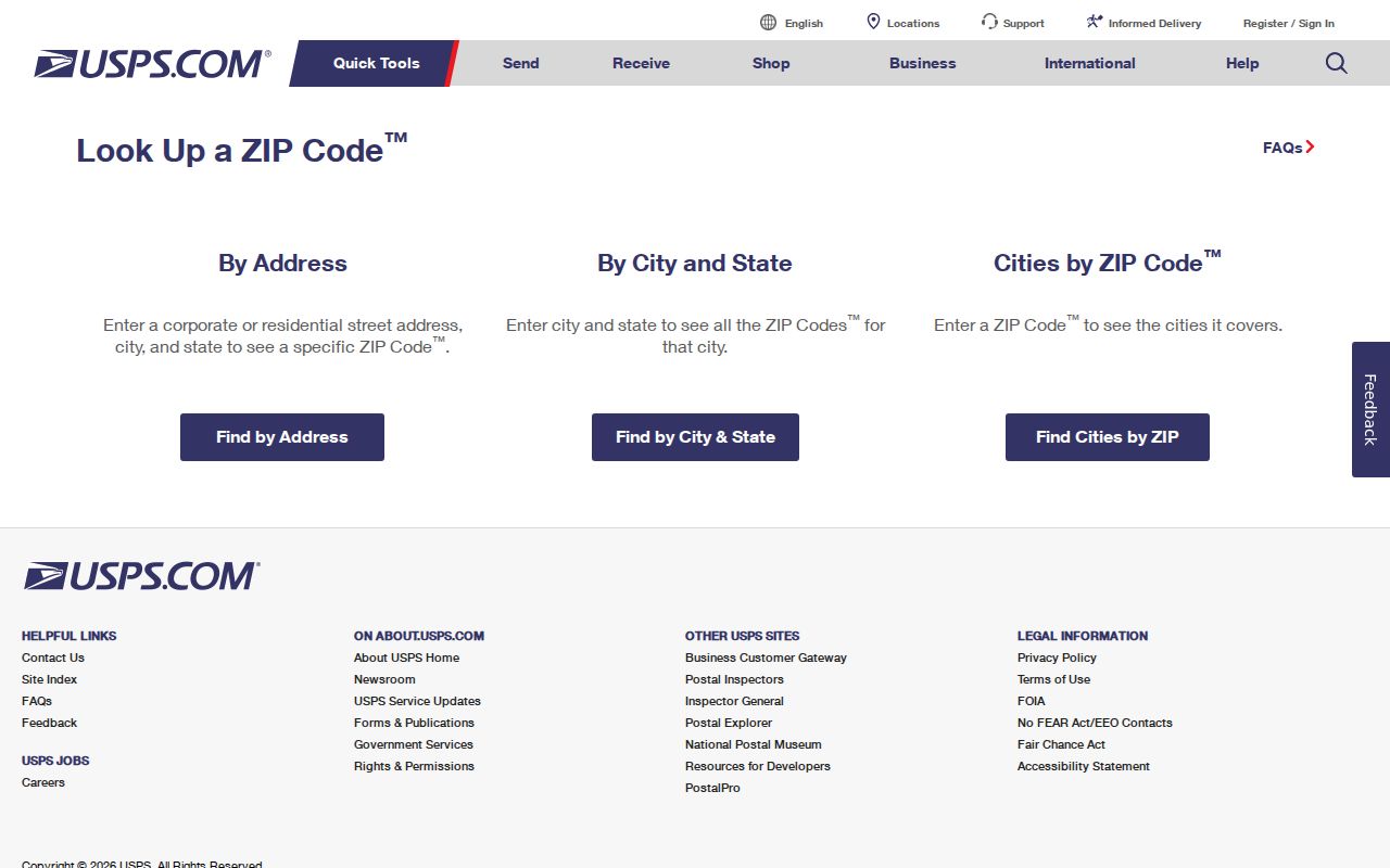
The result confirms postal routing. It does not by itself establish that the parcel is legally within Miami Gardens.
Miami Gardens ZIP Directory and Voter Data
Florida generally treats voter name, address, date of birth, party, phone, email, status, and participation history as public, subject to exemptions. Ballot choices are never part of voting history. Social Security, driver-license, state-ID, and registration-source information are never released. Signatures may be viewed but not copied, preregistrant data for ages sixteen and seventeen is confidential, and approved protected addresses are withheld.
The Florida voter-status service is built for an individual identity check.
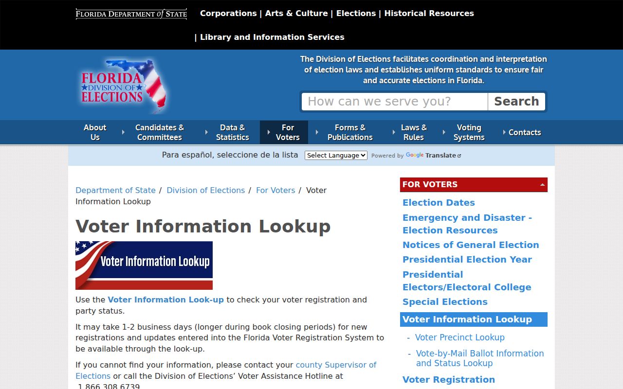
It can lead a voter to status and polling information, but it does not publish a postal-zone roll. Miami-Dade's service may also return address, party, polling place, districts and officeholders, sample ballot, vote-by-mail status, and recent activity.
The Division of Elections public-information guide explains what is open and what remains protected.
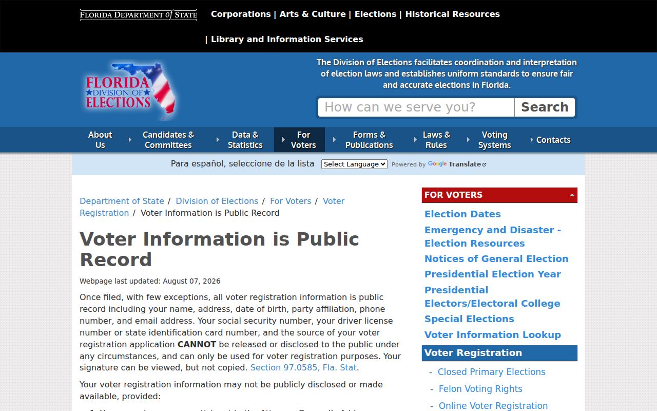
Those field rules apply before any extract is sorted or studied by postal area. They also explain why an official file cannot be assumed to contain every resident.
The Florida voter extract request is the proper channel for broader public data.
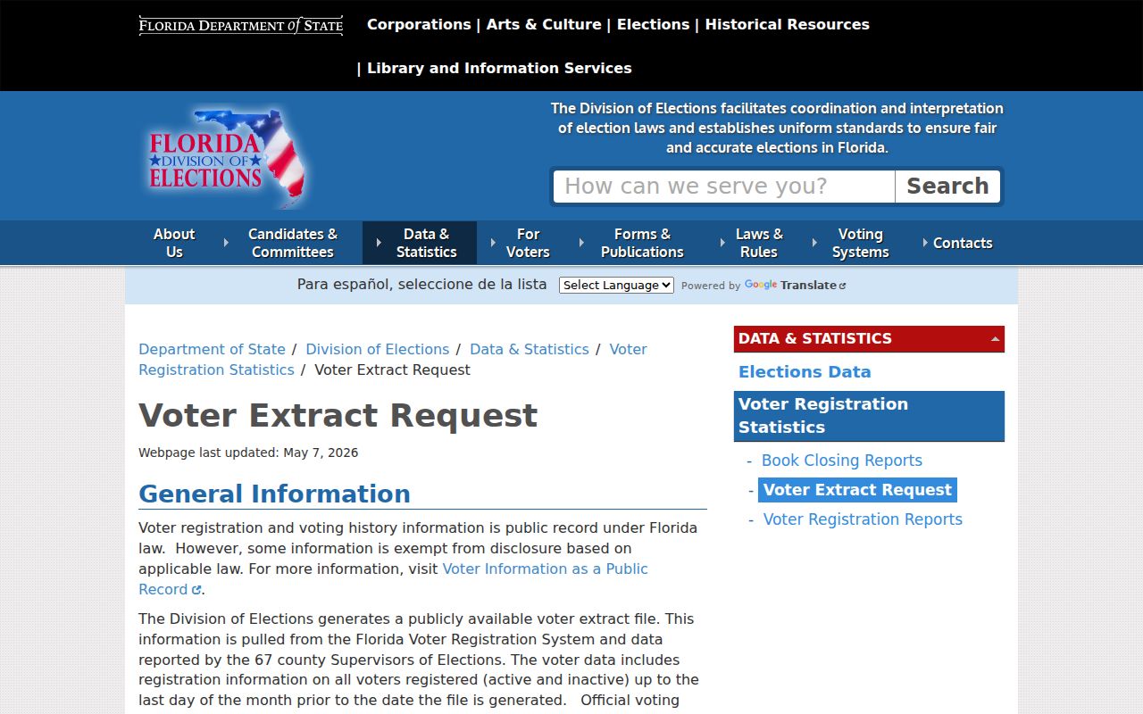
The statewide file covers active and inactive records through the prior month's last day, while participation history may lag another month. Miami-Dade also accepts election-data requests by its published email channels and may quote extensive work.
The Miami-Dade Elections portal brings local voter and precinct services together.
Use that office for county election data, not the Miami Gardens City Clerk, and keep protected records outside the analysis.
Decode the Miami Gardens NW Street Grid
The local grid belongs to Miami-Dade's northwest quadrant. Numbered streets generally run east-west, while avenues and courts run north-south. Exact suffixes matter because a Street, Terrace, Drive, and Court may share the same number. Dropping NW or substituting the wrong suffix can move a search to another parcel.
| Grid name | Paired designation | Search lesson |
|---|---|---|
| NW 215 Street | County Line Road / SR 852 | Try the official and familiar road forms |
| NW 199 Street | Honey Hill / SR 854 | Preserve the numbered version |
| NW 183 Street | Miami Gardens Drive / SR 860 | Test both names when an index differs |
| NW 27 Avenue | SR 817 | Keep the directional prefix |
| NW 57 Avenue | Red Road / SR 823 | Do not rely on the nickname alone |
| US 441 | SR 7 | Older and agency records may vary |
These paired names make a postal search more precise. They also help reconcile a deed, parcel card, school address, or older directory that uses a different road form for the same corridor.
Miami Gardens ZIP Boundaries Versus City Limits
A ZIP code is built for mail delivery. Miami Gardens is a legal municipality. The two systems answer different questions, which is why a city label can disagree with the parcel's government. The strongest local test is the Property Appraiser municipality record and the folio prefix 34, supported by the Community Services GIS map. USPS checks the deliverable address. Census ZCTAs are statistical approximations and are not USPS delivery boundaries.
- ZIP versus ZIP+4
- The five-digit delivery area compared with a more precise four-digit add-on for a delivery segment.
- PO-box ZIP
- A postal area assigned chiefly to boxes rather than ordinary street delivery; none was verified here.
- Unique ZIP
- A code assigned to one high-volume organization; none was verified for Miami Gardens.
- Carrier route
- A postal delivery path within a broader area, not a city boundary.
Boundary check. Never infer Miami Gardens jurisdiction from the mailing city or postal digits alone; confirm the municipality and folio before requesting city records.
This is the central caution behind the Miami Gardens ZIP code directory. Postal geography narrows a search, but parcel jurisdiction decides which government holds a city-created record.