
Walk a Miami Gardens Street
Begin with one exact address. The Miami-Dade Property Appraiser Property Search turns it into a folio, owner record, situs address, mailing address, and legal description. Situs means the physical parcel location. That first result is property evidence, not proof of who lives there.
Carry the folio or legal description into each later source. Exact suffixes matter because Street, Terrace, Drive, Avenue, and Court can share a number. Major roads also have paired forms, such as NW 183 Street and Miami Gardens Drive. Keep both names in the notes.
- Enter the house number and road in Property Search, leaving out city, state, and ZIP.
- Copy the folio, subdivision, lot, block, plat reference, owner, and both address fields.
- Confirm the municipality and nearby parcels in Community Services GIS.
- Use the legal description and owner in Official Records to find deeds.
- Check city permits, a lawful voter extract, and historical criss-cross sources for other evidence.
This street-by-street order avoids mistaking a postal label for the city boundary. It also makes every conclusion traceable.
Miami Gardens Address Search Fields
The property portal has four verified search modes. Address is the main street directory entry point. Owner Name, Subdivision Name, and Folio help resolve incomplete results. Condominium results can list units and owners, while partial matches can be printed or exported.
| Mode | Input | Street use |
|---|---|---|
| Address | Main and suite | Resolve one parcel |
| Owner Name | Person or entity | Compare nearby holdings |
| Subdivision Name | Recorded subdivision | Recover weak street text |
| Folio | County identifier | Open the exact parcel |
Use standard abbreviations and avoid special characters. Results can include sales, exemptions, prior aerials, sketches, assessments, and map layers. They describe land and improvements, not a household.
The official property search screen shows these modes before a user opens a parcel.
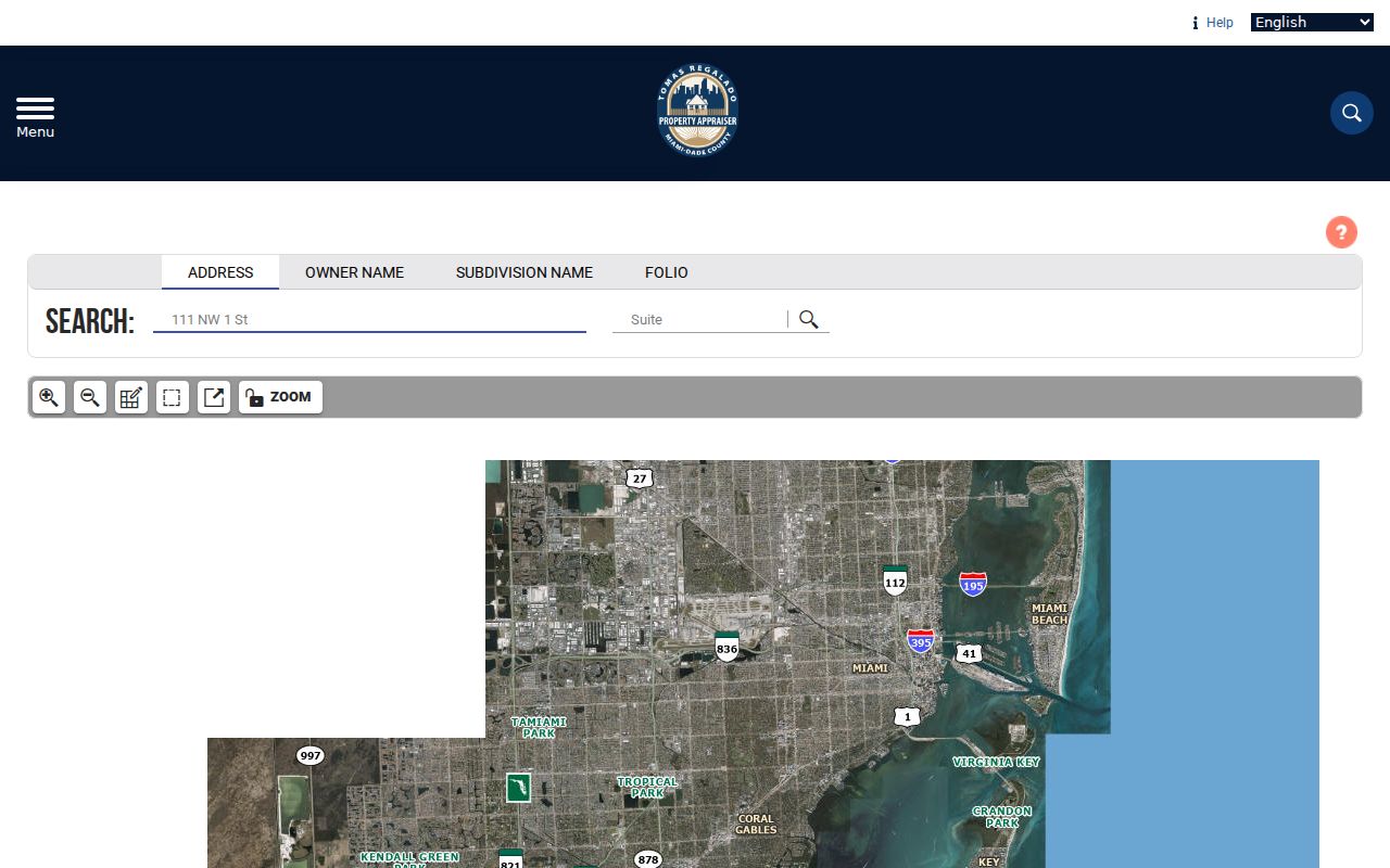
The captured interface shows how an address becomes the folio used throughout the Miami Gardens street directory trail.
Map Miami Gardens Street Parcels
The Miami-Dade Community Services map adds geography. Search by Address, Intersection, Landmark, Folio, municipality, commission district, or township-range-section. Choose the parcel layer, click a feature, or draw an area along the block.
The Buffer tool accepts a distance in feet and a target layer. Results can be viewed as HTML or exported to Excel. This inventories parcels, not residents. Open each folio in the Appraiser record before assigning ownership.
The GIS parcel viewer is shown in the successful project capture.
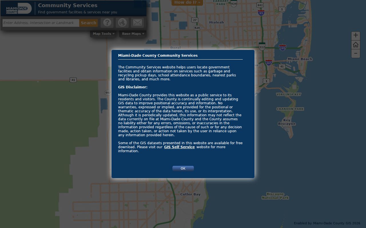
The parcel edges and municipality layer keep a by-street list tied to the right jurisdiction.
Note: GIS discovers neighboring features; the Property Appraiser supplies ownership, mailing, assessment, and building details for each selected folio.
Miami Gardens Records by Street
No one record names every resident. Each address-keyed source answers a narrower question, so a careful street directory labels direct facts and inferences.
| Record | Keeper | What it shows | Access |
|---|---|---|---|
| Parcel card | Property Appraiser | Owner, situs, mailing, folio, sales | Free portal |
| GIS | Miami-Dade GIS | Boundaries, parcels, districts | Free map |
| Deeds | County Recorder | Parties, document, legal description | Most 1974 onward online; library for all years |
| Permits/code | Miami Gardens | Applicant, contractor, work, inspections | Portal, counter, or request |
| Voter data | Elections | Nonexempt registrants by address | Extract or request |
An owner is not always an occupant. Mailing may go to another home, an agent, or a post office box. Homestead can support, but never prove, owner occupancy.
Test Miami Gardens Folio 34
Every verified Miami Gardens folio begins with 34. That prefix and the GIS municipality layer are better city tests than a ZIP or postal label. Miami Gardens incorporated in 2003 from seven predecessor communities, while postal geography still crosses its borders.
Official boundaries run roughly from County Line Road to NW 151 Street and from North Miami Avenue or NE 2 Avenue west to NW 47 or NW 57 Avenue. Six ZIPs touch the city without matching those lines. Use the folio first, then USPS ZIP Lookup for delivery information.
Insider tip. A 34 folio plus the GIS municipality layer is the cleanest Miami Gardens jurisdiction test when the mailing city seems inconsistent.
Bridge Miami Gardens Deed Gaps
A recorder address field may be blank. The dependable bridge is the subdivision, lot, block, and plat reference. Search the current owner as grantee in Official Records Standard Search, narrow by document type and date, then compare the deed’s legal description.
The index can show names and roles, document type, recording date, Clerk File Number, Official Records book and page, legal description, and image access. Grantor means the party transferring an interest; grantee receives it. Neither role proves residence.
Most records from 1974 forward are online. For earlier years, the Records Library provides public computers and complete indexes. Staff searches cost $2 per name per year, copies $1 per page, and certification $2 per document. Mail requests should give full name, document type, and an address or legal description.
Note: Crossing the 1974 web line calls for the Records Library, not a claim that older Miami Gardens records were lost.
Miami Gardens Permits by Address
The city’s Building Permits office can document permit type, dates, contractor, work, inspections, status, and sometimes owner or applicant. A permit dates change to a site. It cannot prove occupancy.
The dynamic Customer Self Service portal covers permits, planning, business tax receipts, and code compliance, but its current dropdown inventory was not verified. If it fails, request city records with the department, address, record type, and date range. Florida law does not require a stated purpose.
The official permit page supplies the city access route.
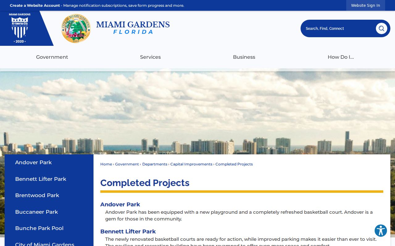
This city source covers building work absent from the county parcel and deed systems.
Miami Gardens Assigns Addresses
Planning and Zoning reviews plats, subdivisions, site plans, zoning, and address assignments. It has separate routes for multifamily, commercial, or industrial sites; new single-family lots or structures; and other vacant or improved lots. Planning is therefore the right custodian when a number changed or is missing.
Public-hearing applications can identify an applicant, parcel, and nearby-owner notice area. Those are land-use facts, not a resident roster. Planning lists zoninginfo@miamigardens-fl.gov, 305-622-8023, and Monday through Thursday, 7 a.m. to 6 p.m. hours.
The address authority page appears in a successful project image.
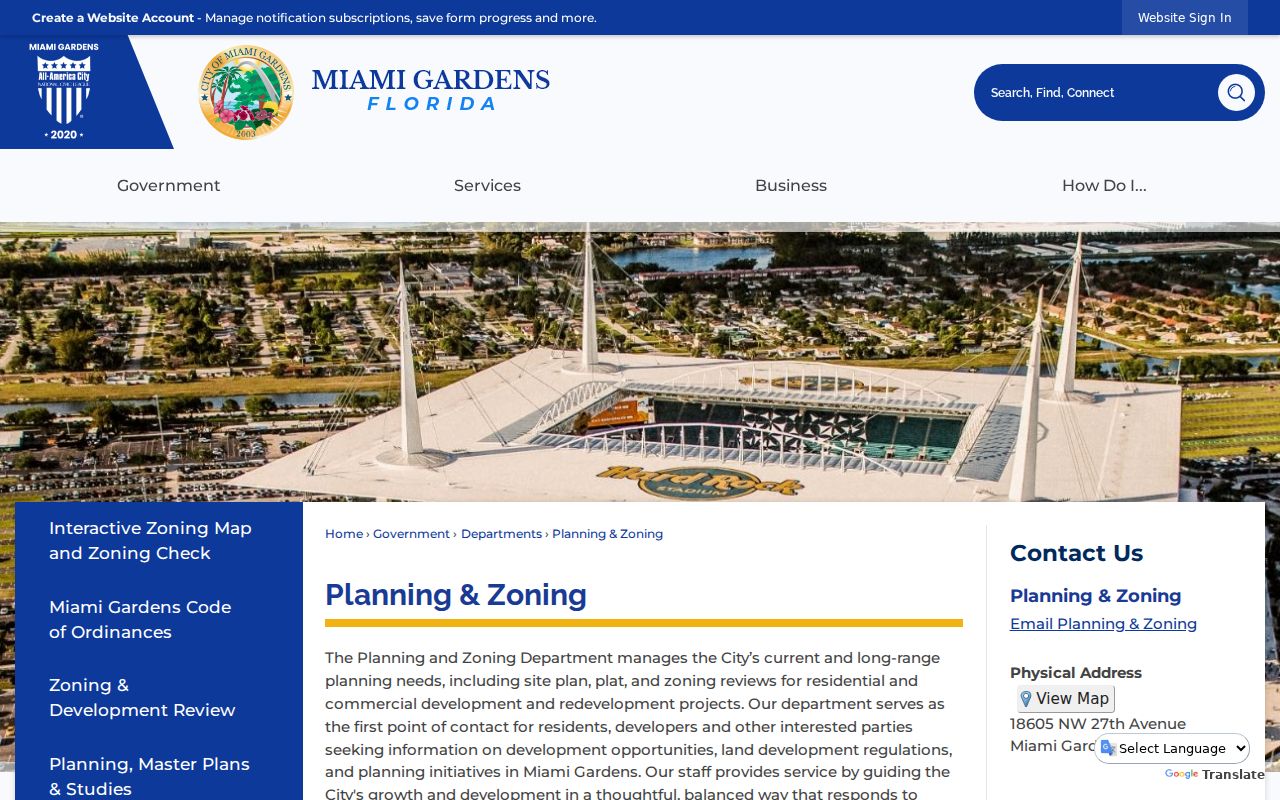
The three assignment routes explain why address history belongs with Planning before a broad search.
Read Old Miami Gardens Streets
A criss-cross directory sorts entries by street and house number. Selected Polk Miami volumes include reverse sections, but no official catalog gives a complete Miami Gardens or Carol City run. The Miami Gardens city directory collections identify confirmed editions without inventing missing years.
For pre-2003 research, try Andover, Bunche Park, Carol City, Lake Lucerne, Norland, Opa-locka North, and Scott Lake. Pair directory evidence with the 1935 or 1945 Florida census, federal census through 1950, deeds, and permits.
Miami Gardens Street Record Terms
Save these terms with each result so all sources refer to the same land.
- Parcel or folio
- The county land-account unit and identifier, not a household.
- Situs address
- The parcel location, distinct from the owner mailing address.
- Plat
- A recorded subdivision map divided into lots and blocks.
- Criss-cross directory
- A historical directory ordered by street and house number.
Legal descriptions often outlast changes in postal labels and street spelling.
Miami Gardens Voters by Street
Florida’s voter-status form is a personal self-check requiring name, birth date, and acceptance of its notice. It is not a street browser. A lawful by-street analysis uses the statewide extract or a Miami-Dade Elections data request, with exemptions applied.
Public fields may include name, address, birth date, party, contact fields, status, and participation history, never ballot choices. Social Security, driver-license, state-ID, and registration-source data stay private. Signatures may be viewed but not copied. Protected addresses are removed, and inactive status does not prove a permanent move.
Limits of Miami Gardens Street Records
A street directory cannot reveal every renter, child, guest, or household member. Utility accounts, delivery records, and driver addresses are not an open resident roll. Protected voters and Address Confidentiality Program participants are intentionally absent.
Use results for genealogy, parcel history, civic inquiry, or checking an official property trail. When the aim shifts to one named person, the Miami Gardens resident lookup uses a separate identity-check method.
Lawful use. Miami Gardens address records support lawful personal research. Never use them to stalk, harass, threaten, or harm anyone.
The safest conclusion stays narrow: a party owned a parcel on a date, a permit concerned an address, or a nonexempt voter registered there.
Request Miami Gardens Street Files
Online tools are only one access channel. When a Miami Gardens street directory search reaches a missing permit, code case, older deed, or unclear address assignment, send the request to the office that created the record. The City Clerk handles city-created material through its public-record process, while county deeds and recorded liens belong to the Miami-Dade Clerk and County Recorder. A request should name the department, street address, record type, and a useful date range. Add a permit, incident, document, or folio number when one is known. Florida requesters do not have to explain why they want a public record.
Ask for electronic copies or an inspection appointment when either will meet the need. A custodian may quote lawful copy or extensive-use costs, and exempt details can be redacted while the rest is produced. If a county deed search predates the web collection, use the Records Library, public computers, mail, or a staff search. For city planning and permit files, the web portal, office counter, telephone contact, and City Clerk request remain distinct fallback routes. Keeping those channels separate prevents a request from stalling at the wrong Miami Gardens office.
Note: A failed portal search does not establish that a street record is absent; confirm the keeper, coverage, and alternate access channel.